Inferno Hike 2026
June 23, 2026
I intended to go earlier in June but I was not prepared. Fortunately it was hotter, 105F (40.6C) in town, on the 23rd.
I neglected to take my infernometer so I don’t know the temperatures during the hike. It is usually 5F to 10F hotter than in town. On a typical Inferno Hike early in June humidity is very low so sweat evaporates instantly. This provides efficient cooling and dry comfort. Higher humidity on this hike added some challenge.
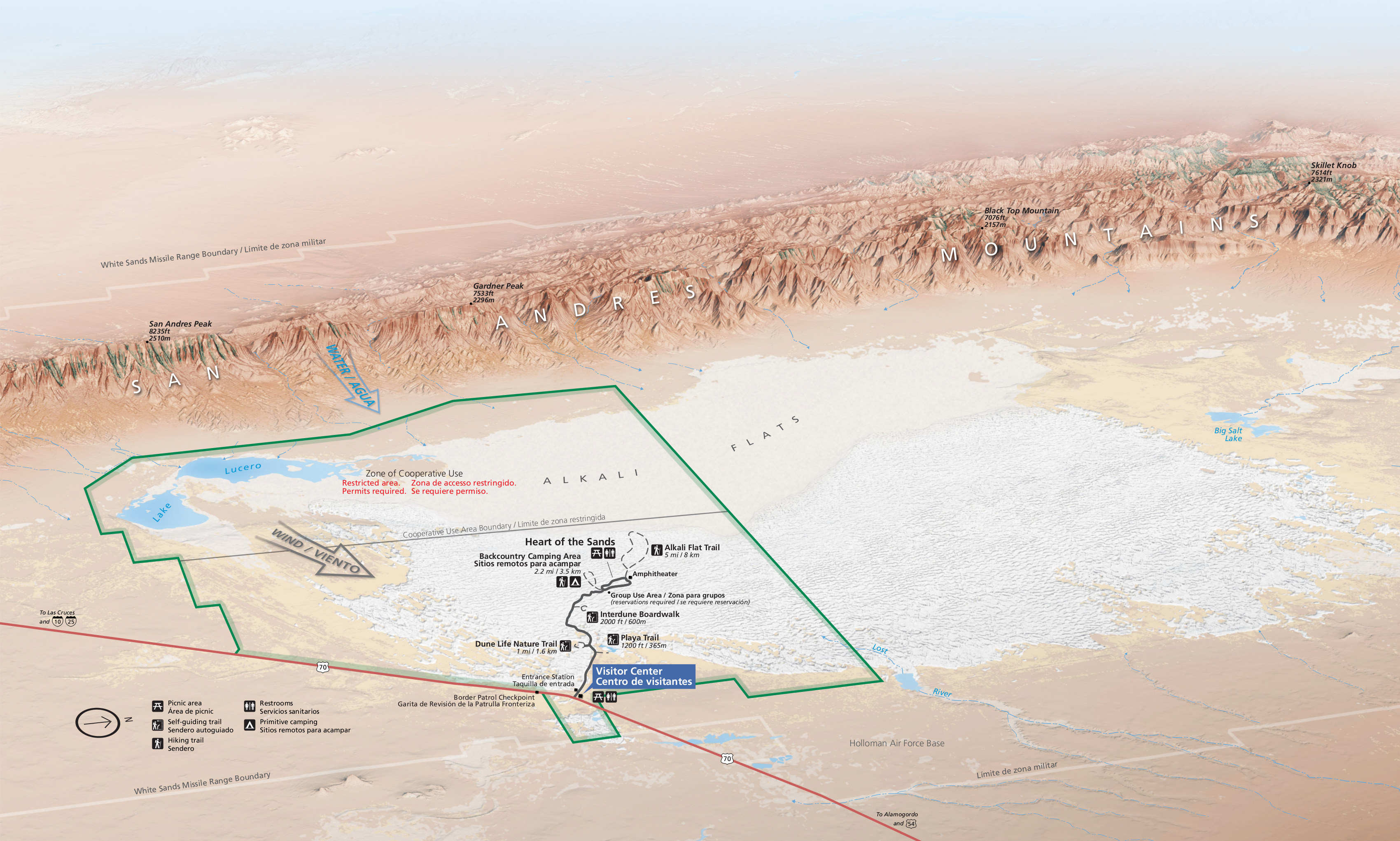
My GPS had damage from a corroded battery. I’ll repair it but to hike without it required a different strategy. I used a compass to go northeast. On the return I went southwest. This also explored part of the way to Lost River in the northeast corner of the civilian accessible zone. That is a hike for cooler weather.
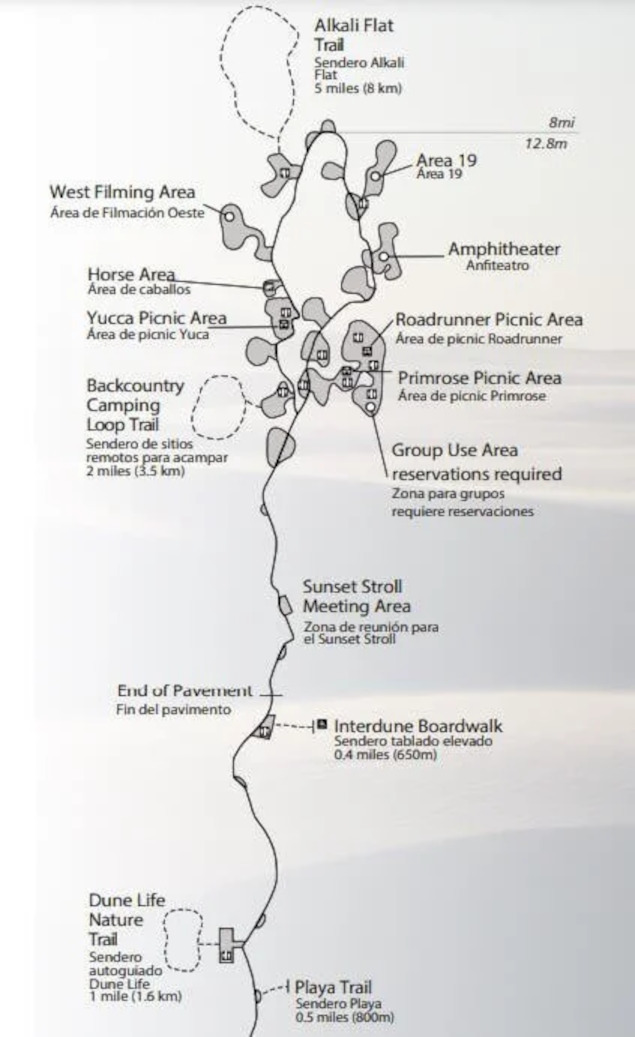
The zone that is open to the public without a permit measures about 12 x 13 miles (19 x 21 km) (156 sq. miles, 399 sq. km).
 |
 |
Places along Dunes Drive have descriptive names like Yucca Picnic, Amphitheater, Group Use. Area 19 is an unexpected name.
 |
 |
 |
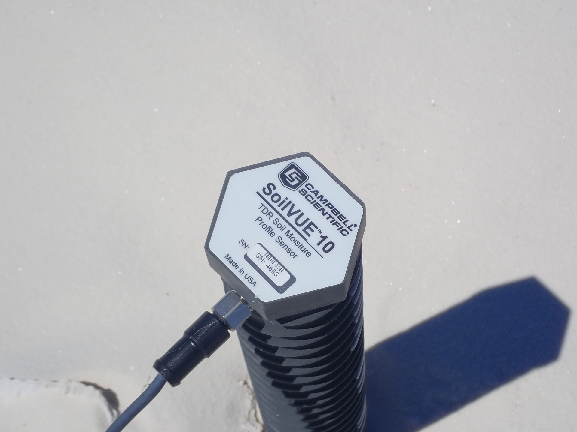 |
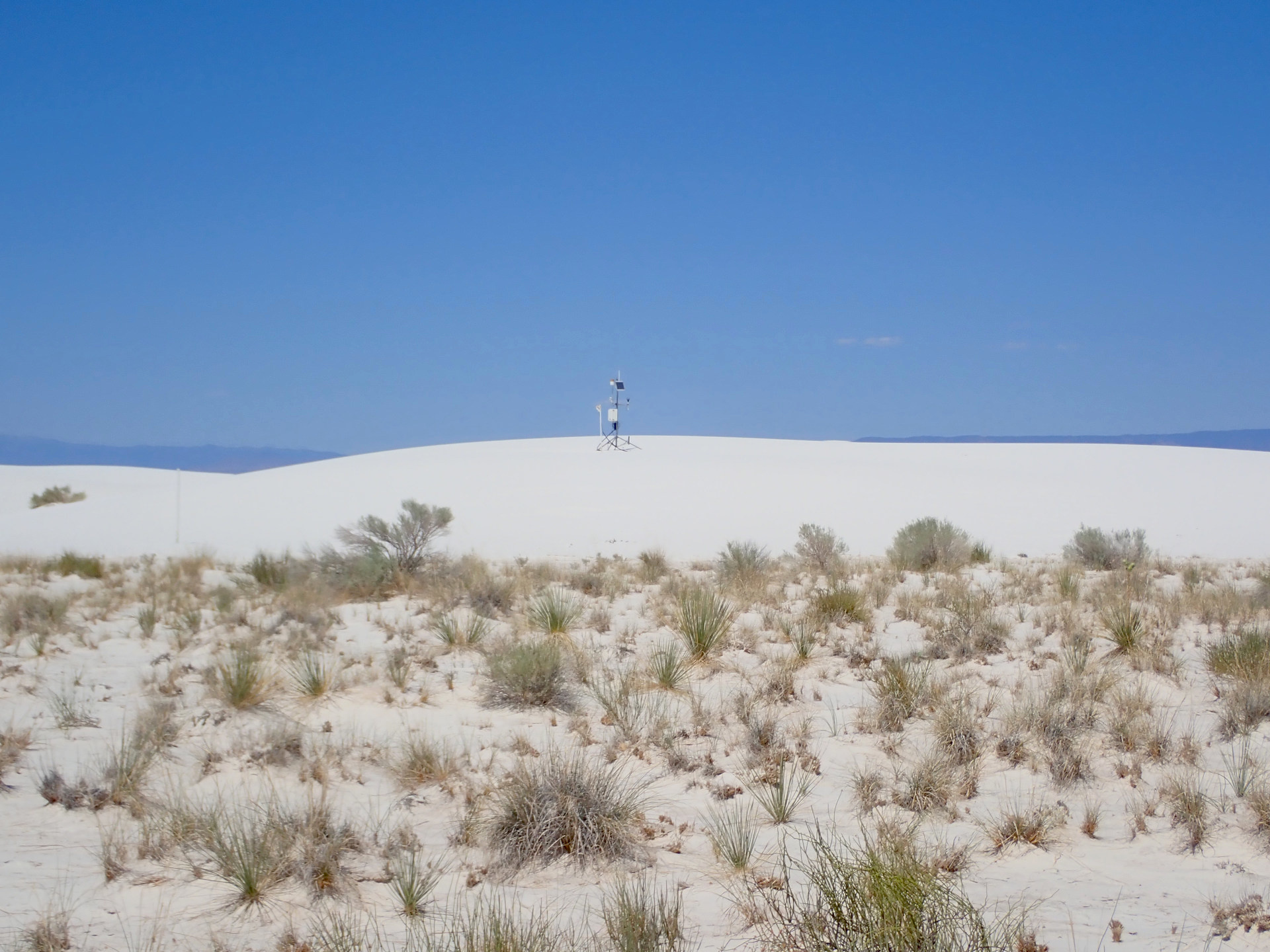
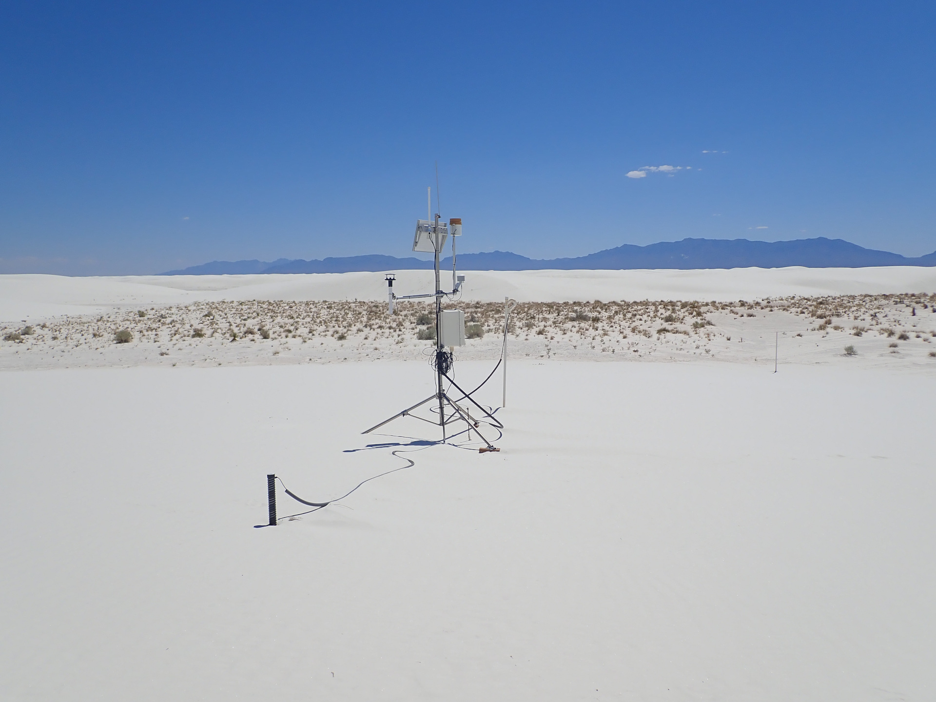
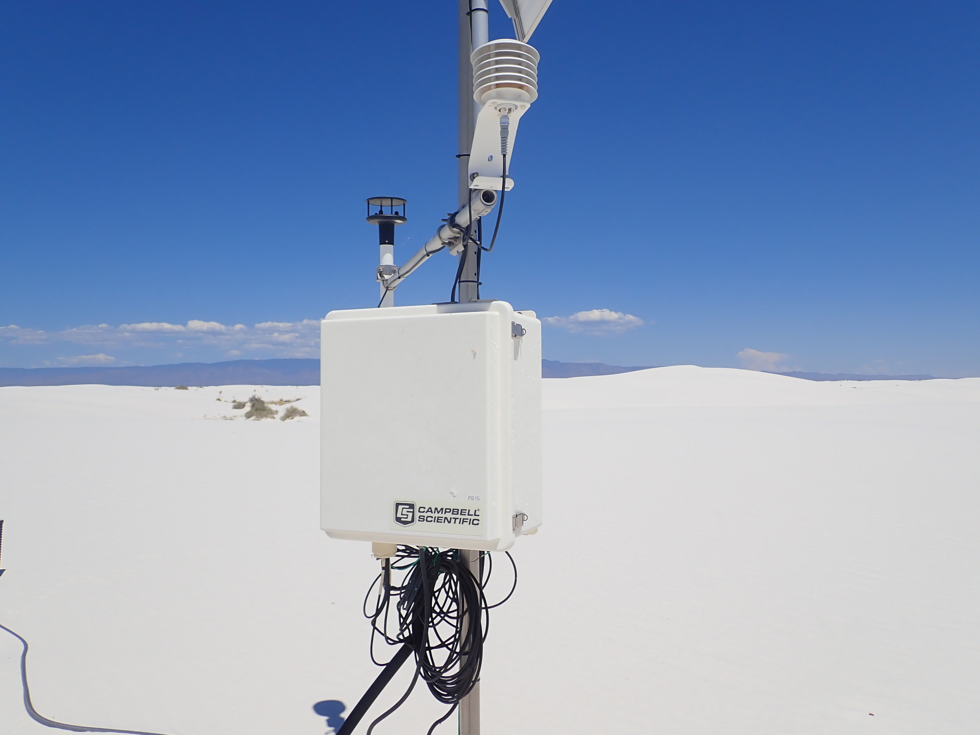
I parked near Area 19, walked in, and found these instruments. Another instrument was some distance from there.
 |
 |
 |
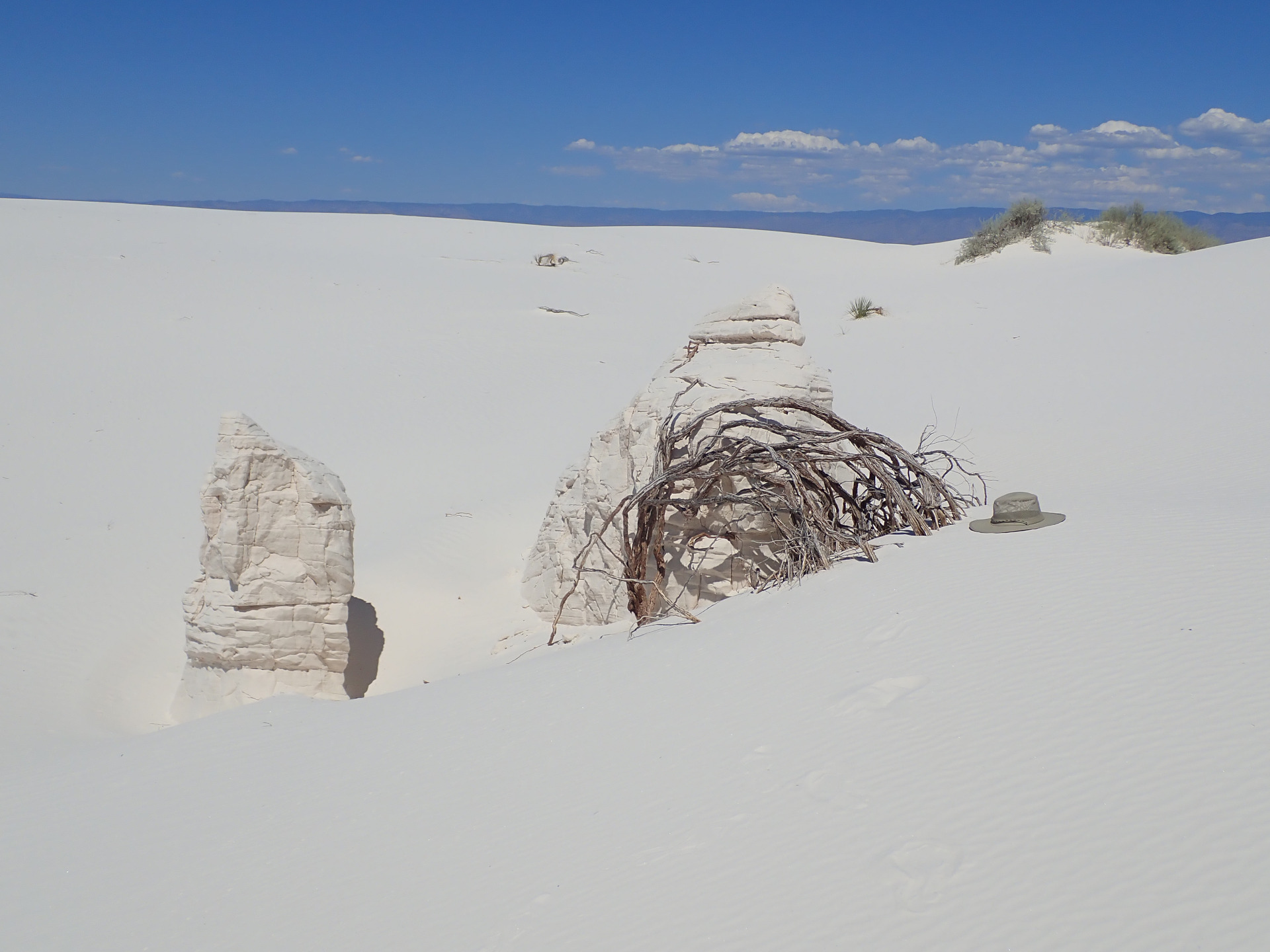 |
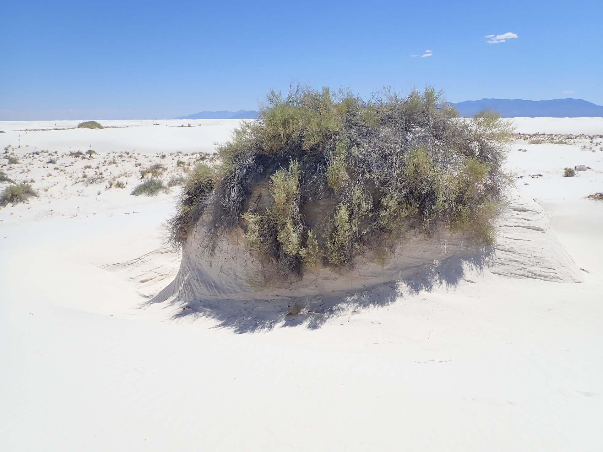
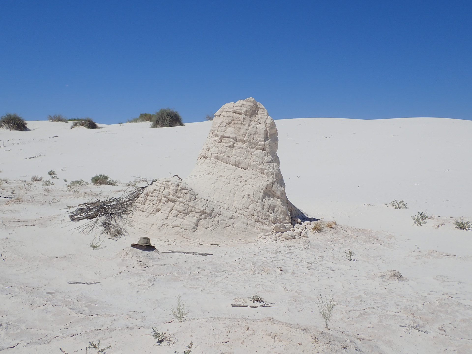
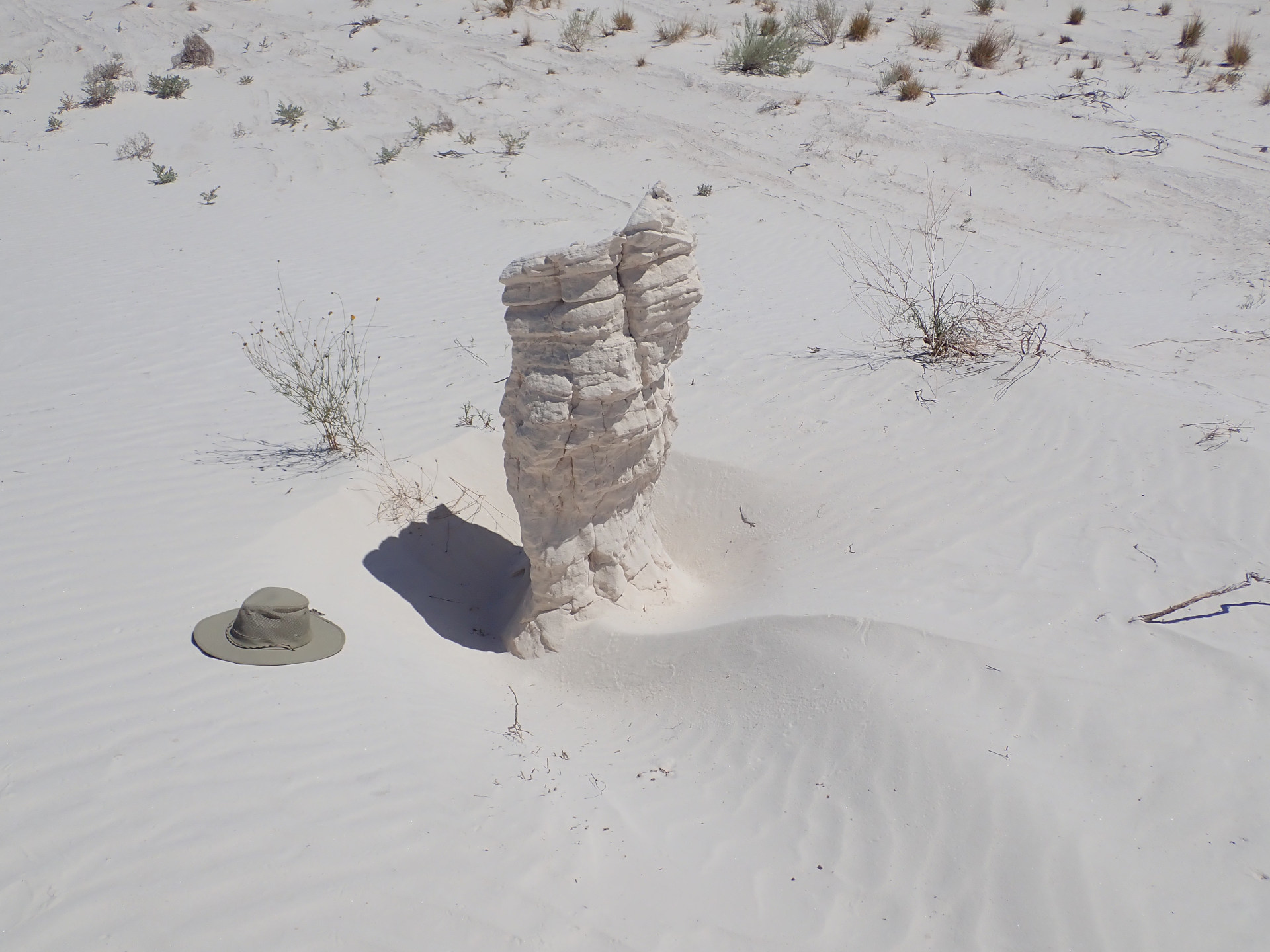
Pedestals
 |
 |
 |
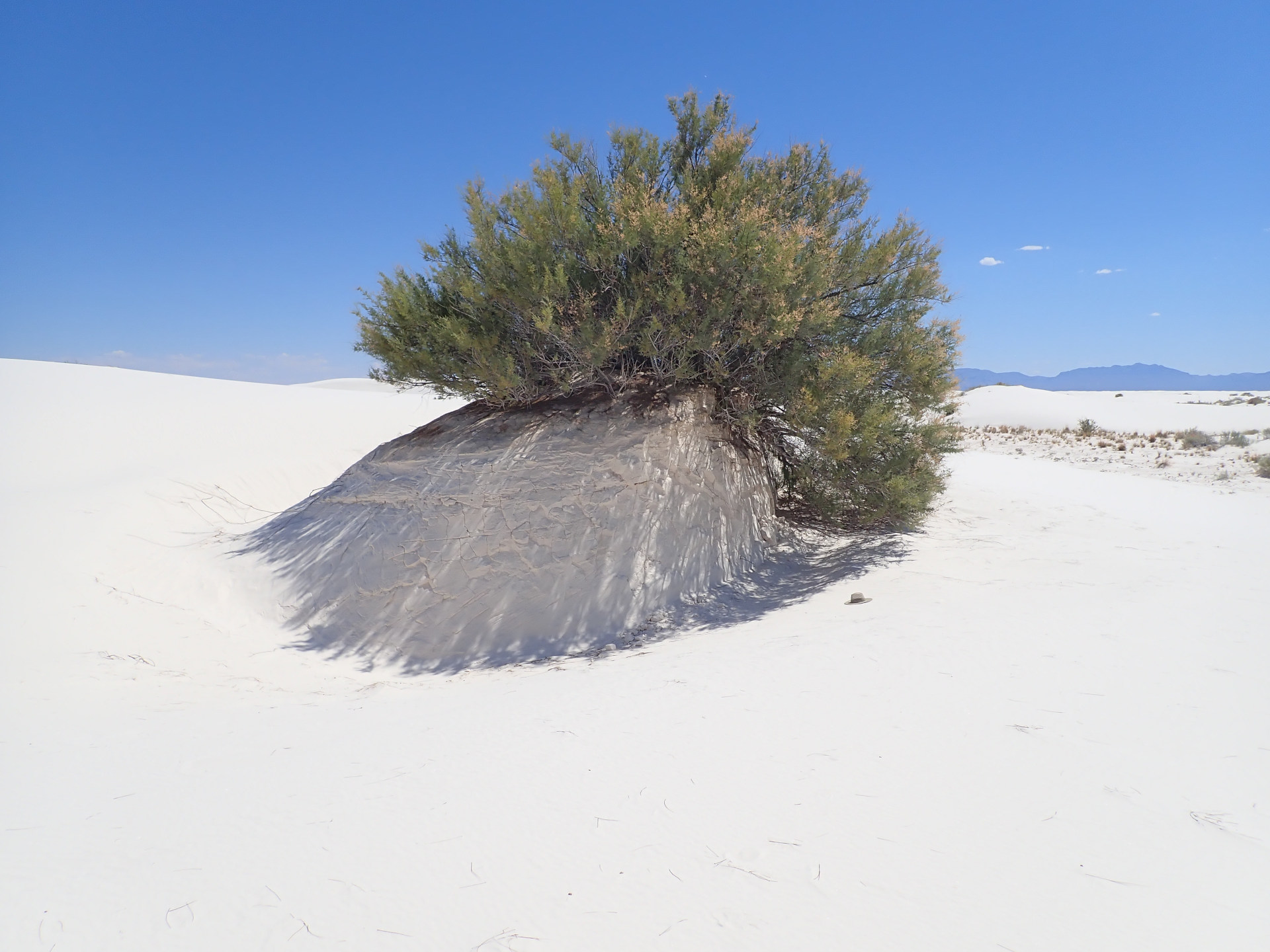
This large pedestal provided shade.
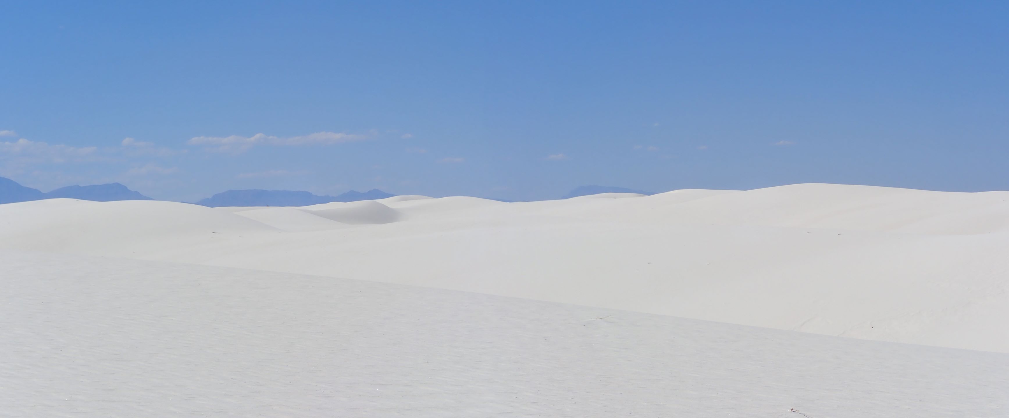 |
Full size panorama: Dunes Panorama
 |
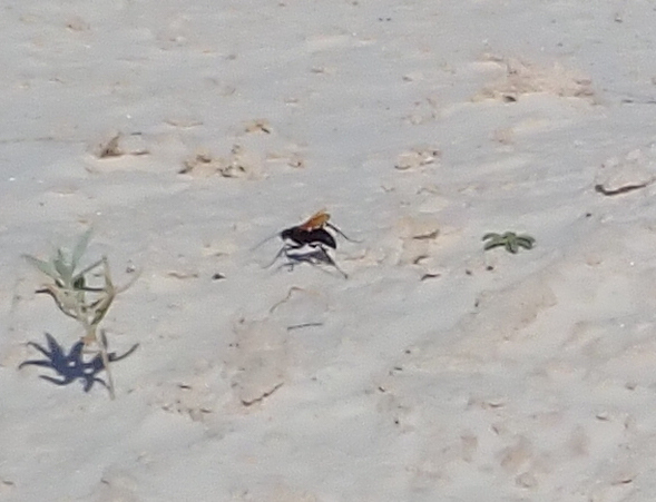 |
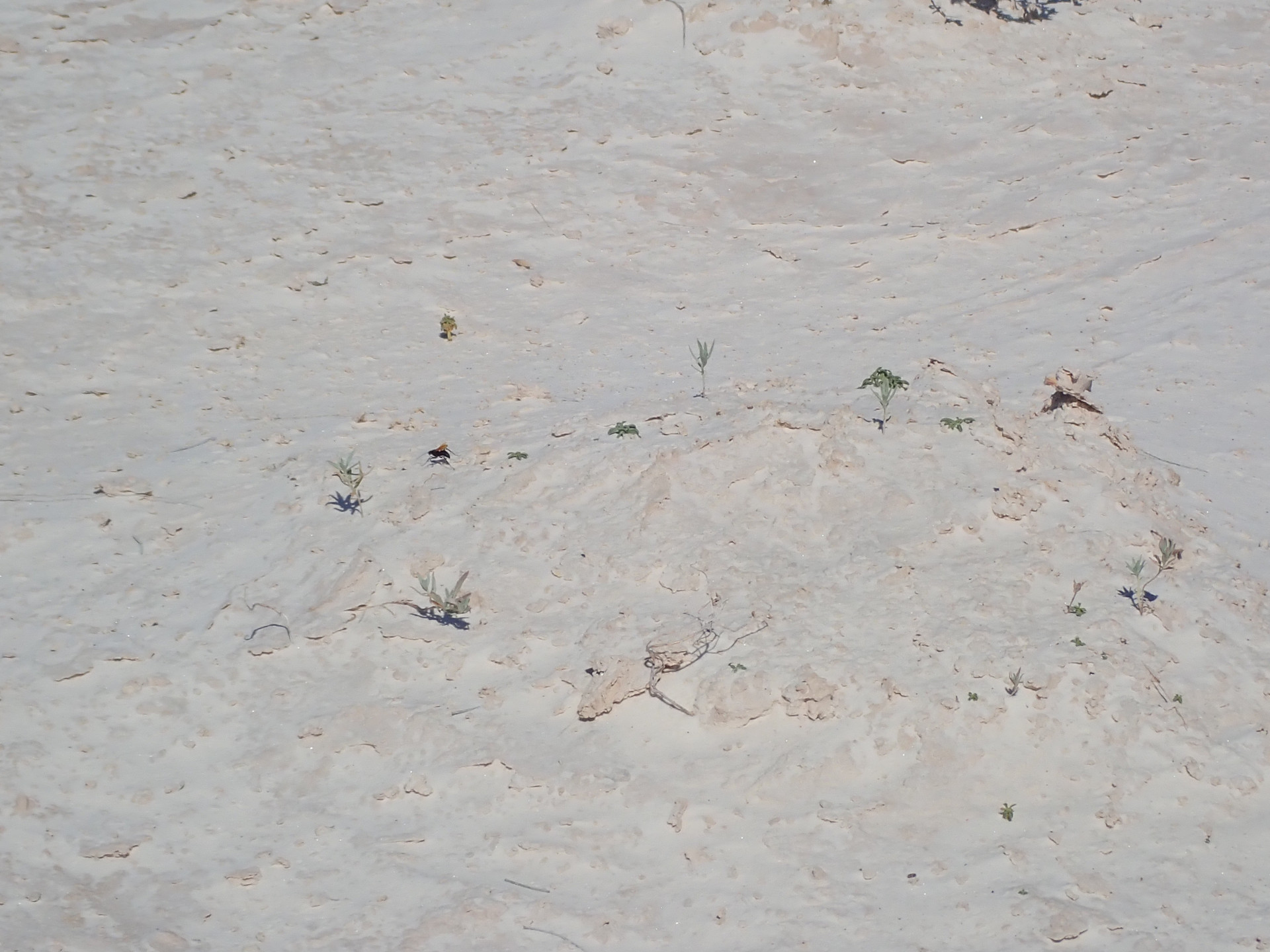
Tarantula Hawk Wasp
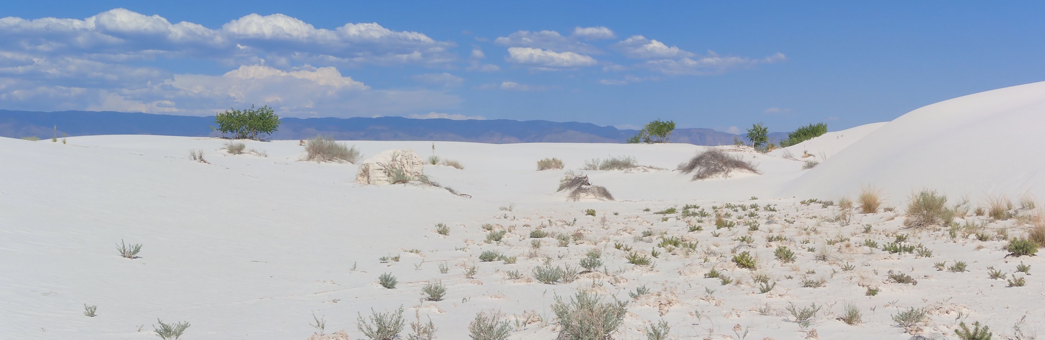 |
Full size panorama: Trees Panorama
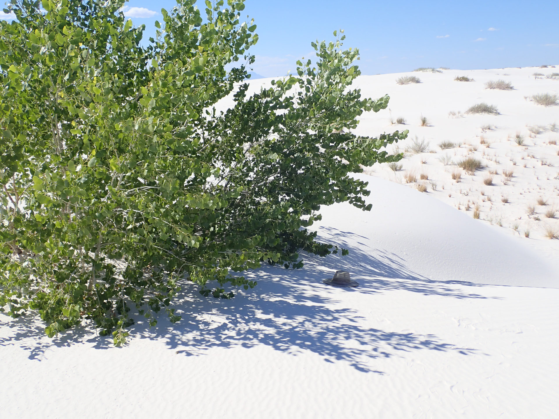
I'll rest under those trees.
 |
 |
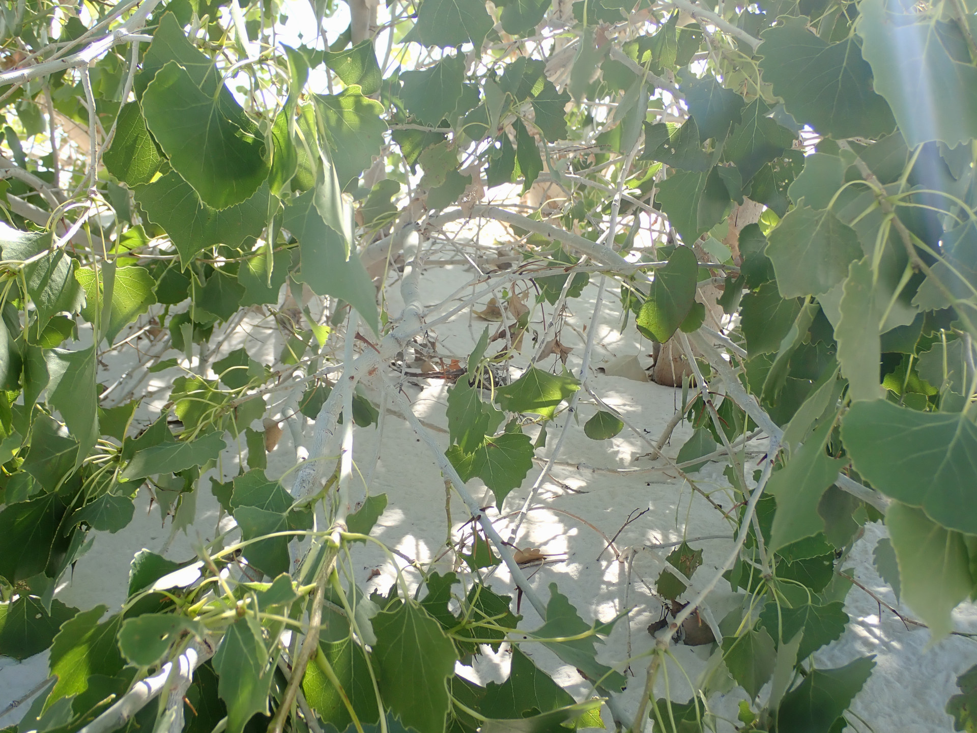 |
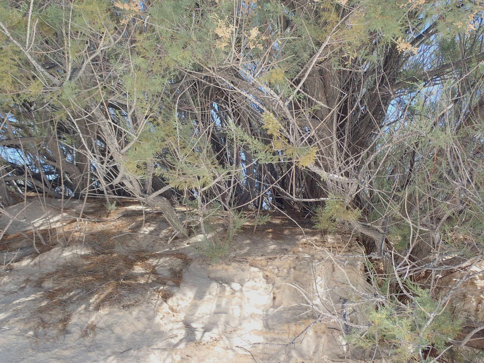
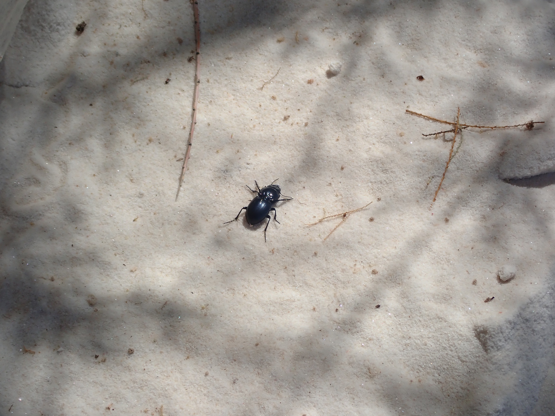
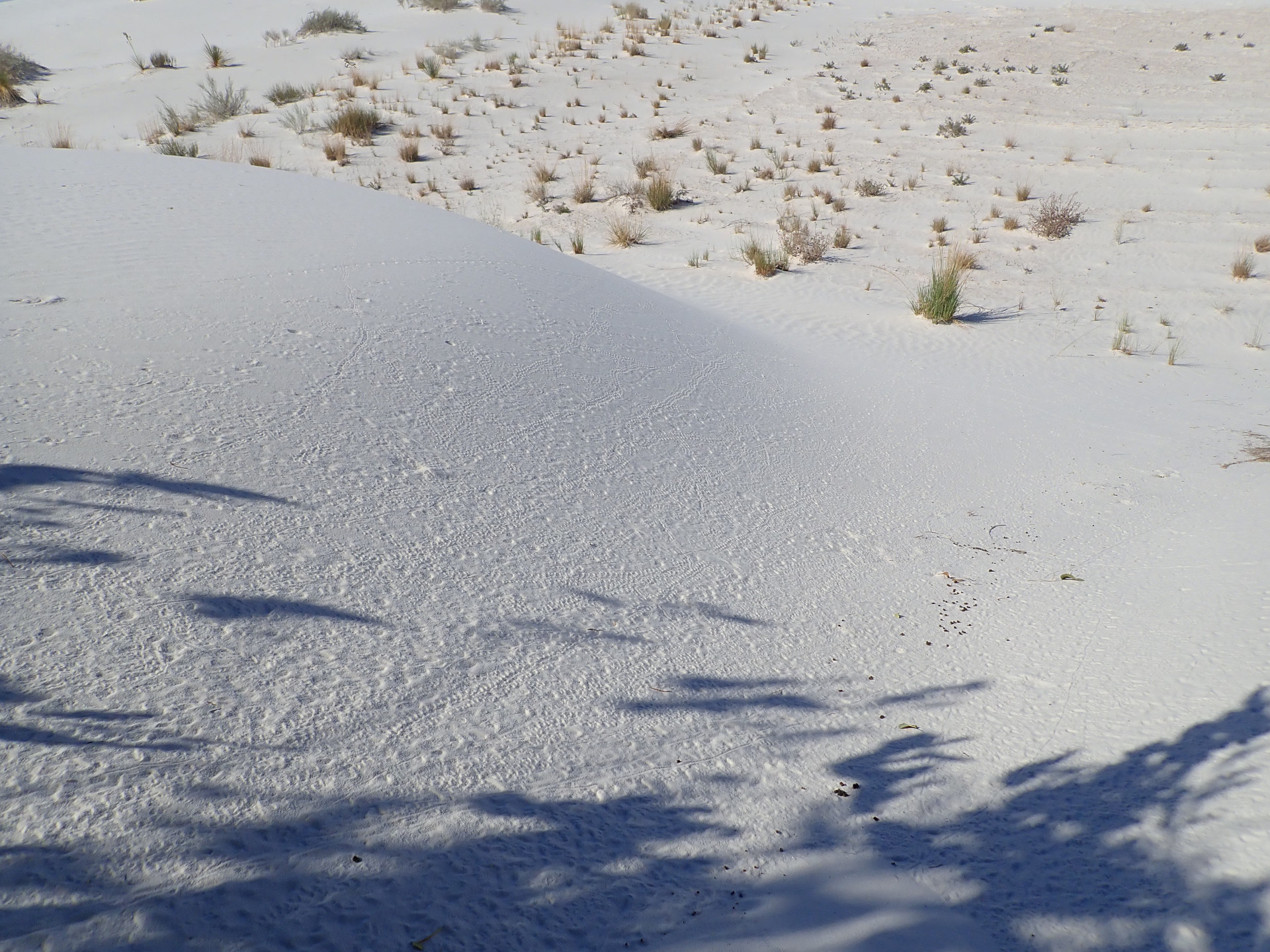
Shade. Many insect and lizard tracks. White branches.
 |
 |
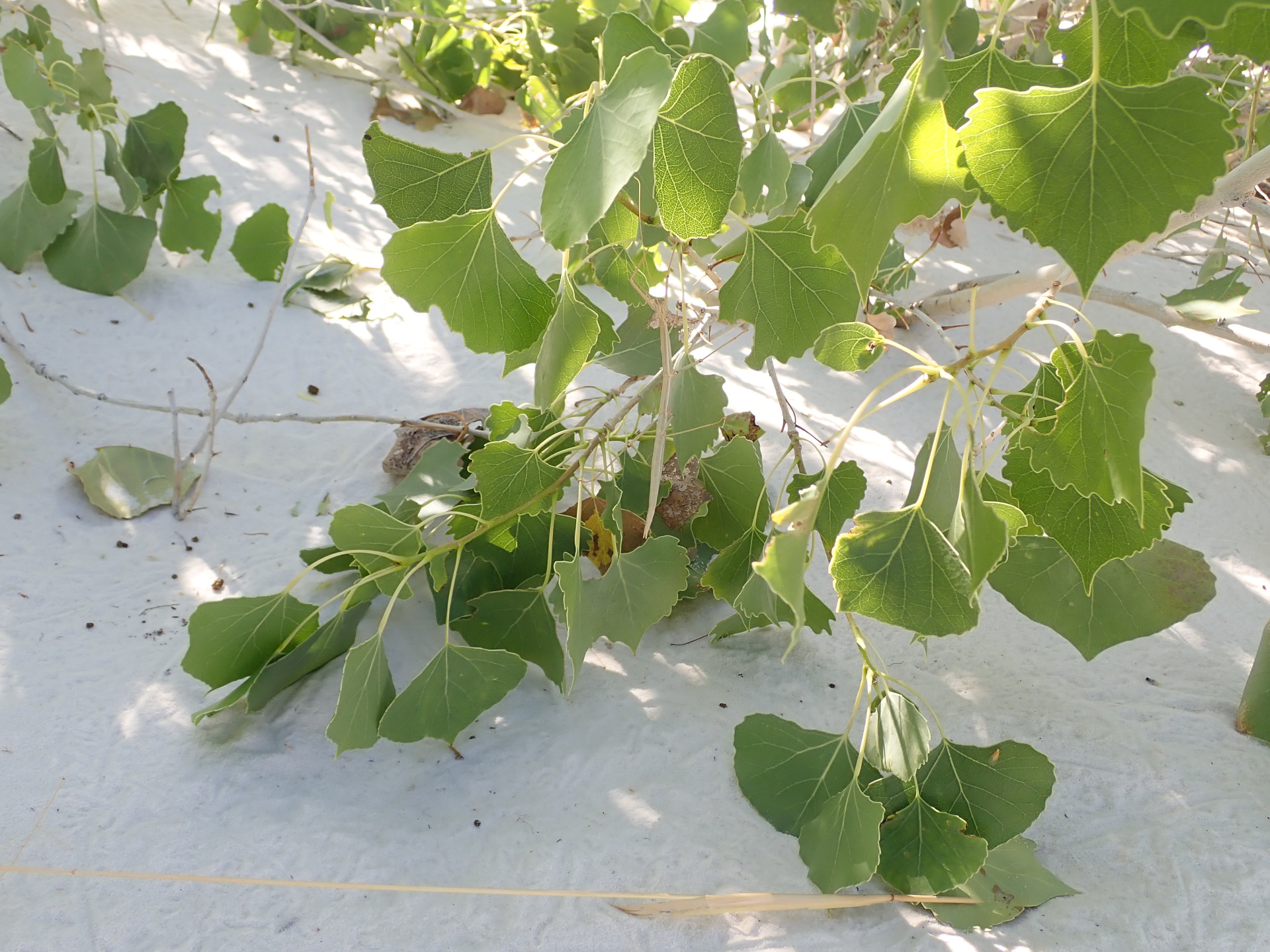 |
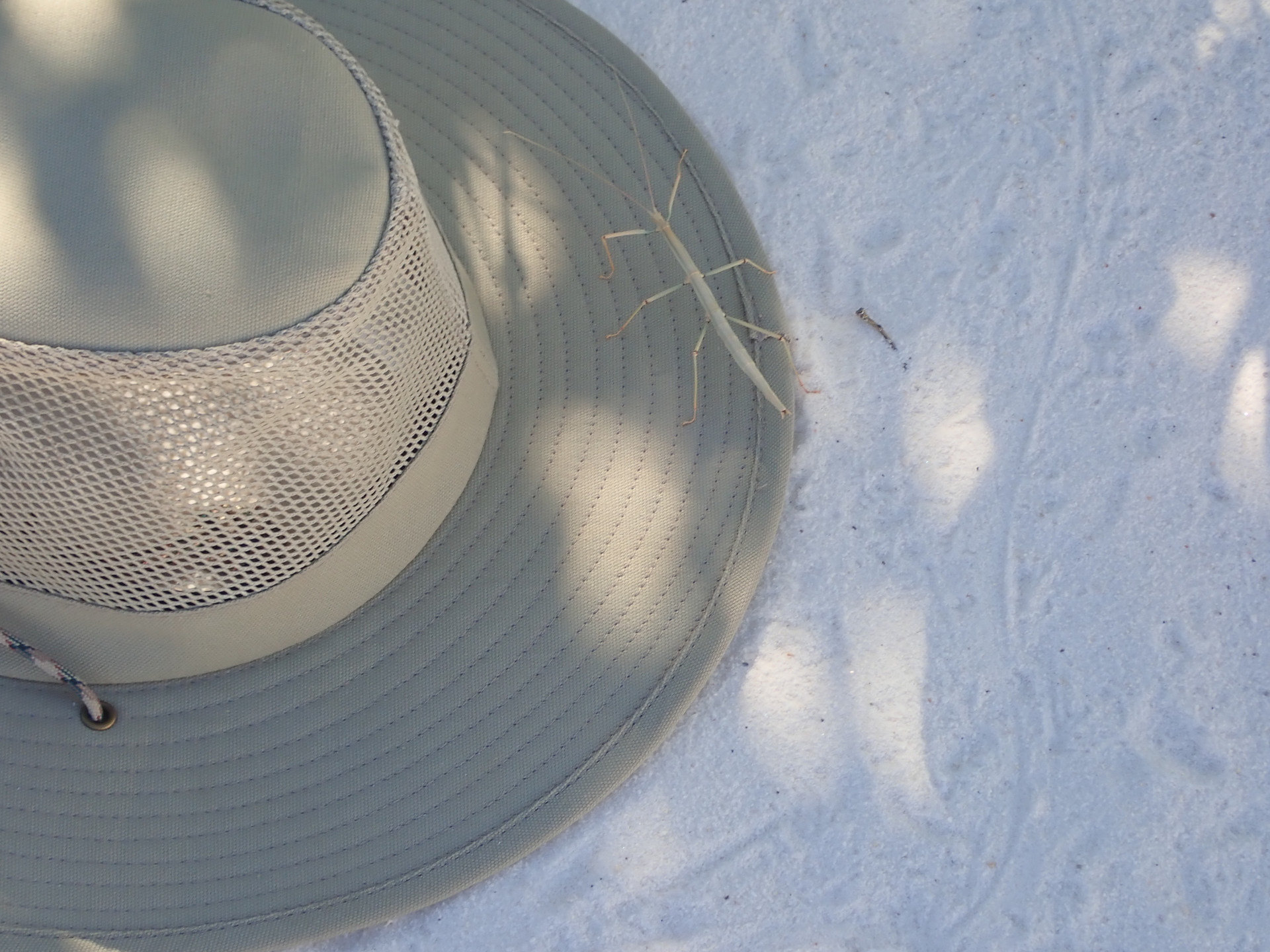
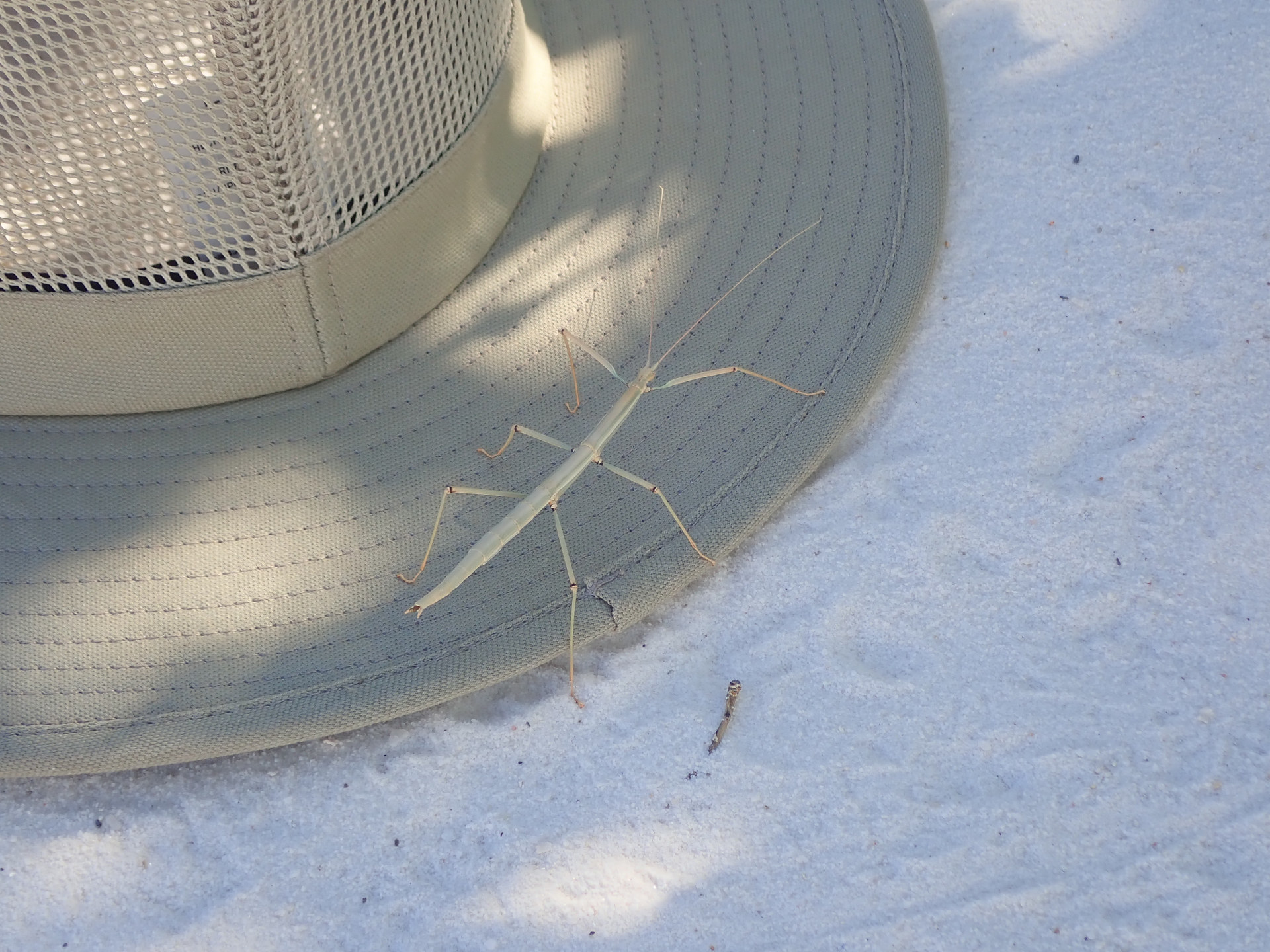
Stick bug.
 |
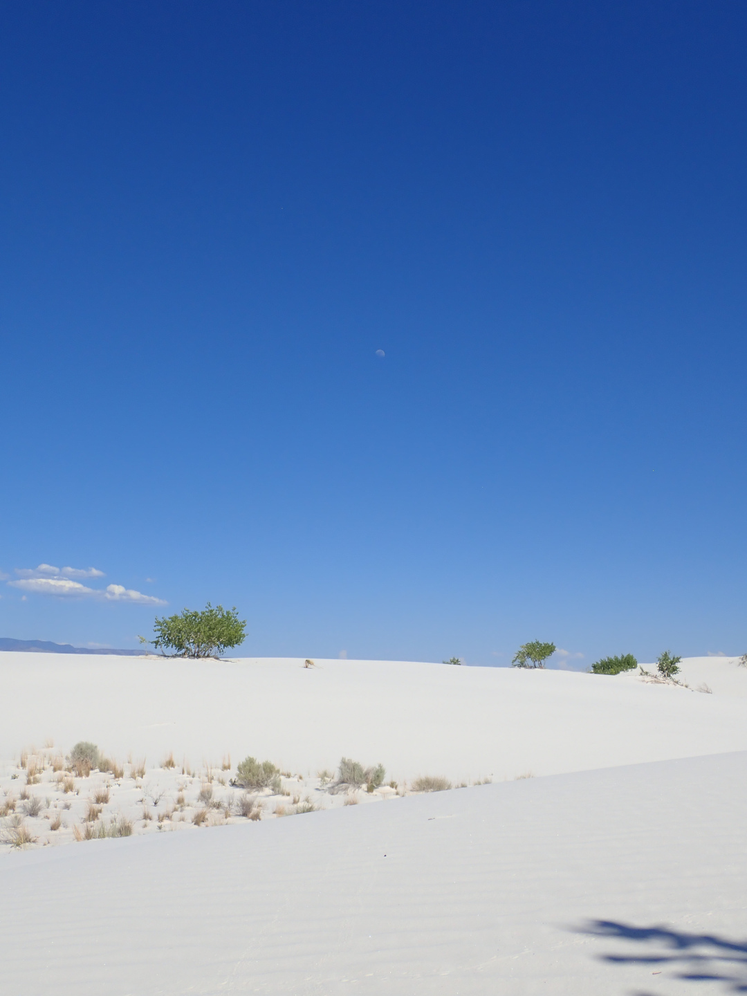 |
Peaceful leaf shadows. Moon. Now it is time to go back.
 |
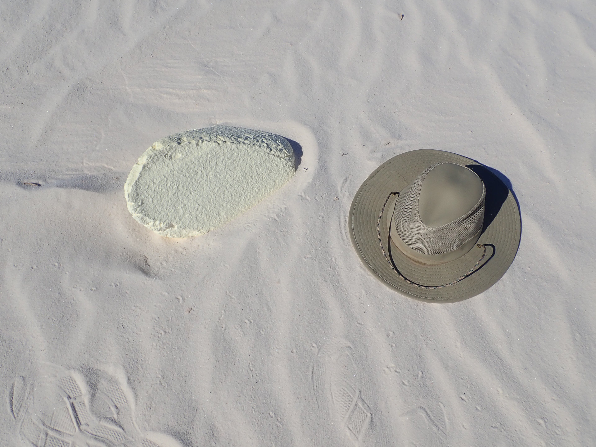 |
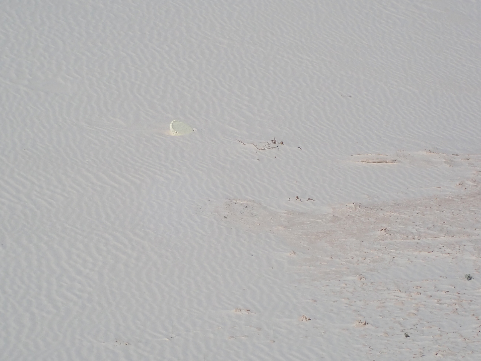
What is that? It is foam. It won't move so there is more under the surface.
 |
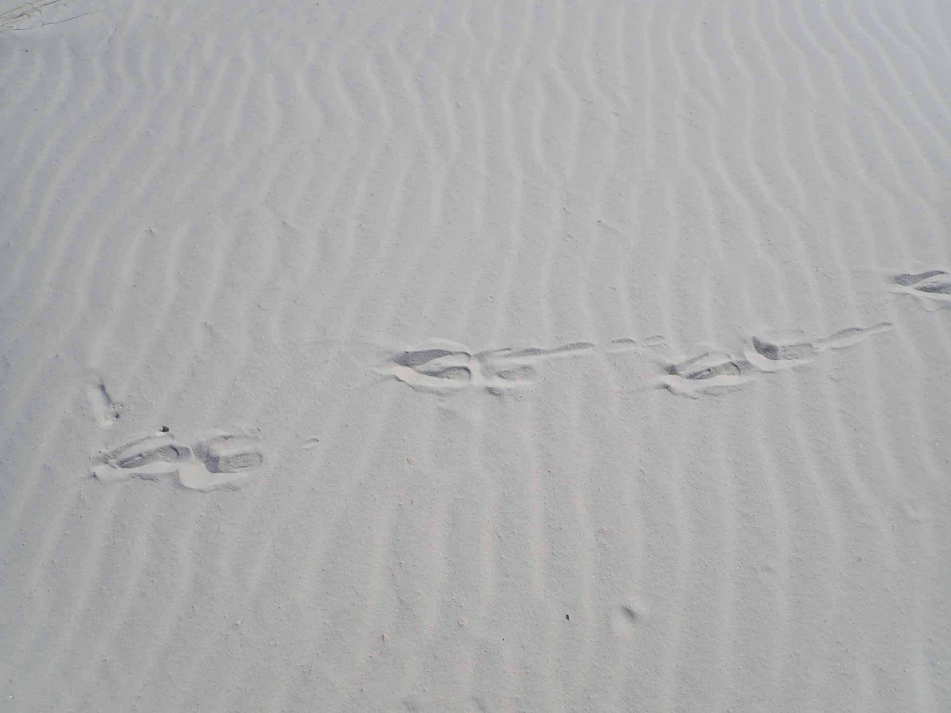 |
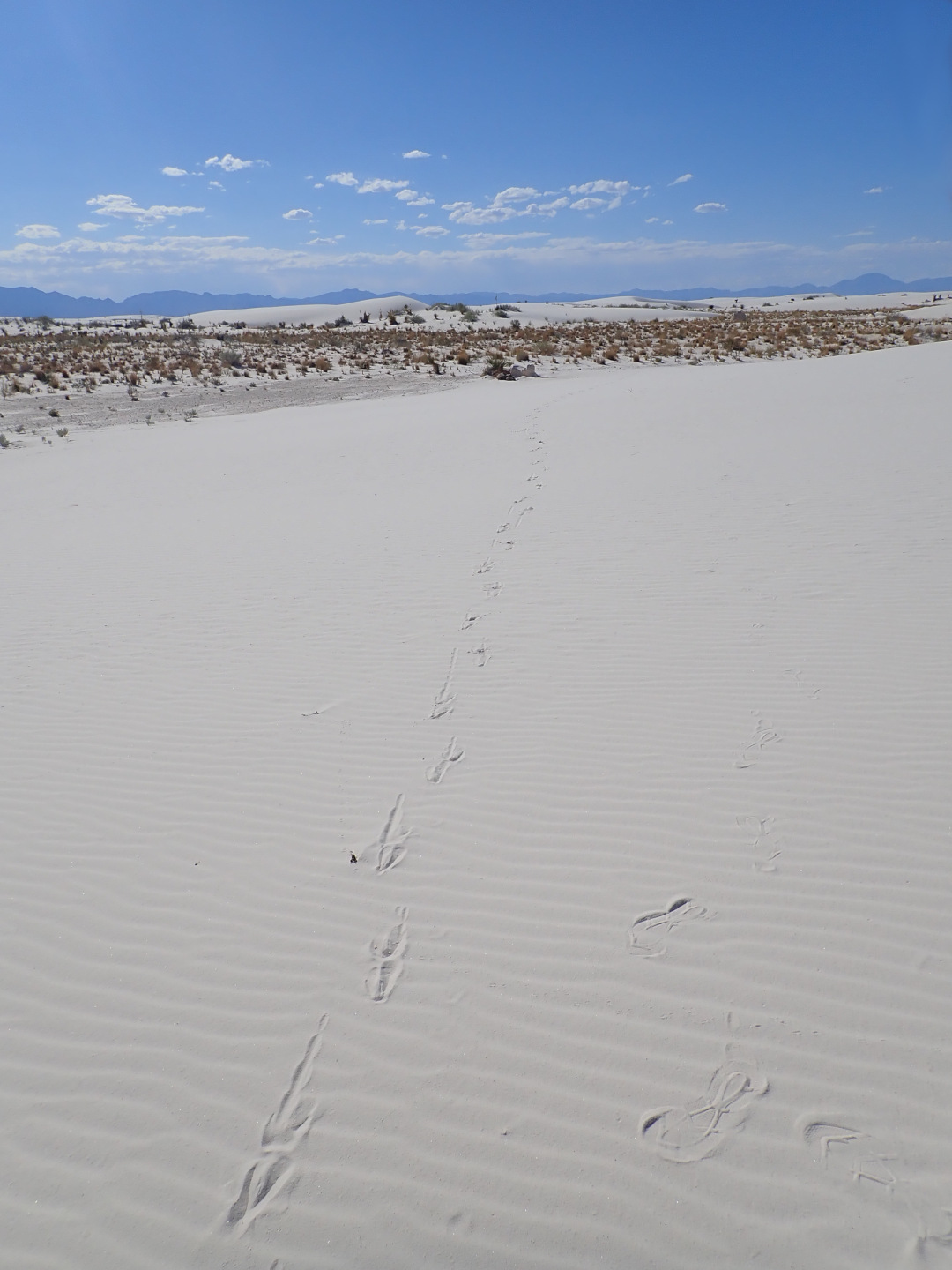
Oryx (gemsbok) tracks.
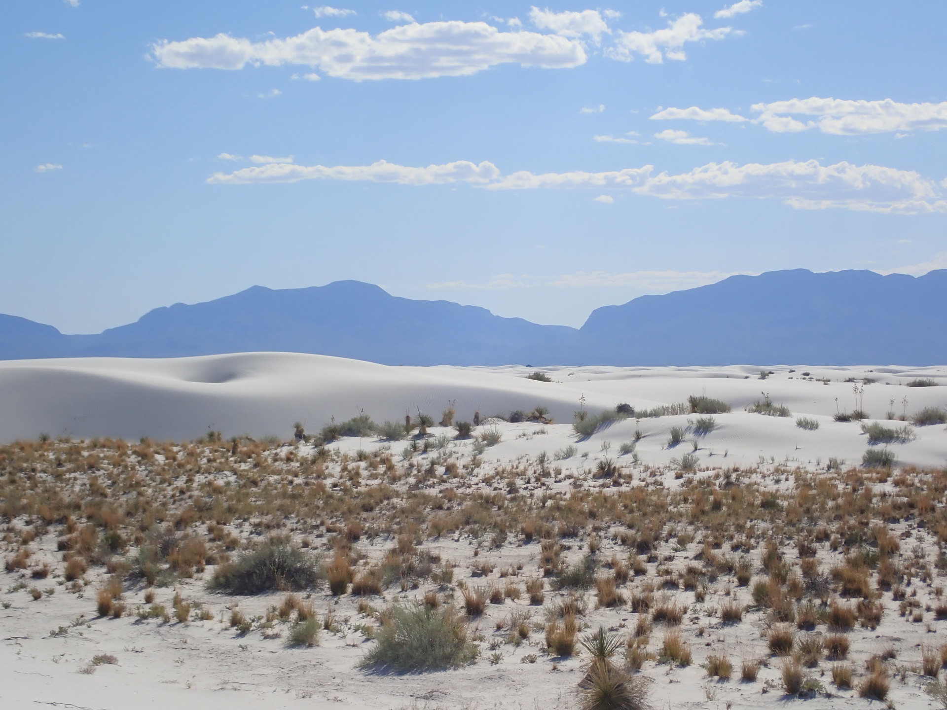 |
Mountains 15 miles (24 km) from here. I want to hike and camp there. Not open to the public.
 |
 |
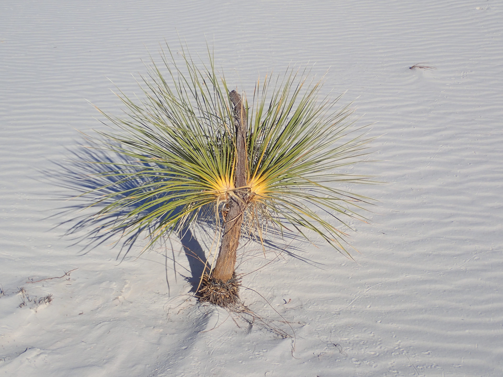 |
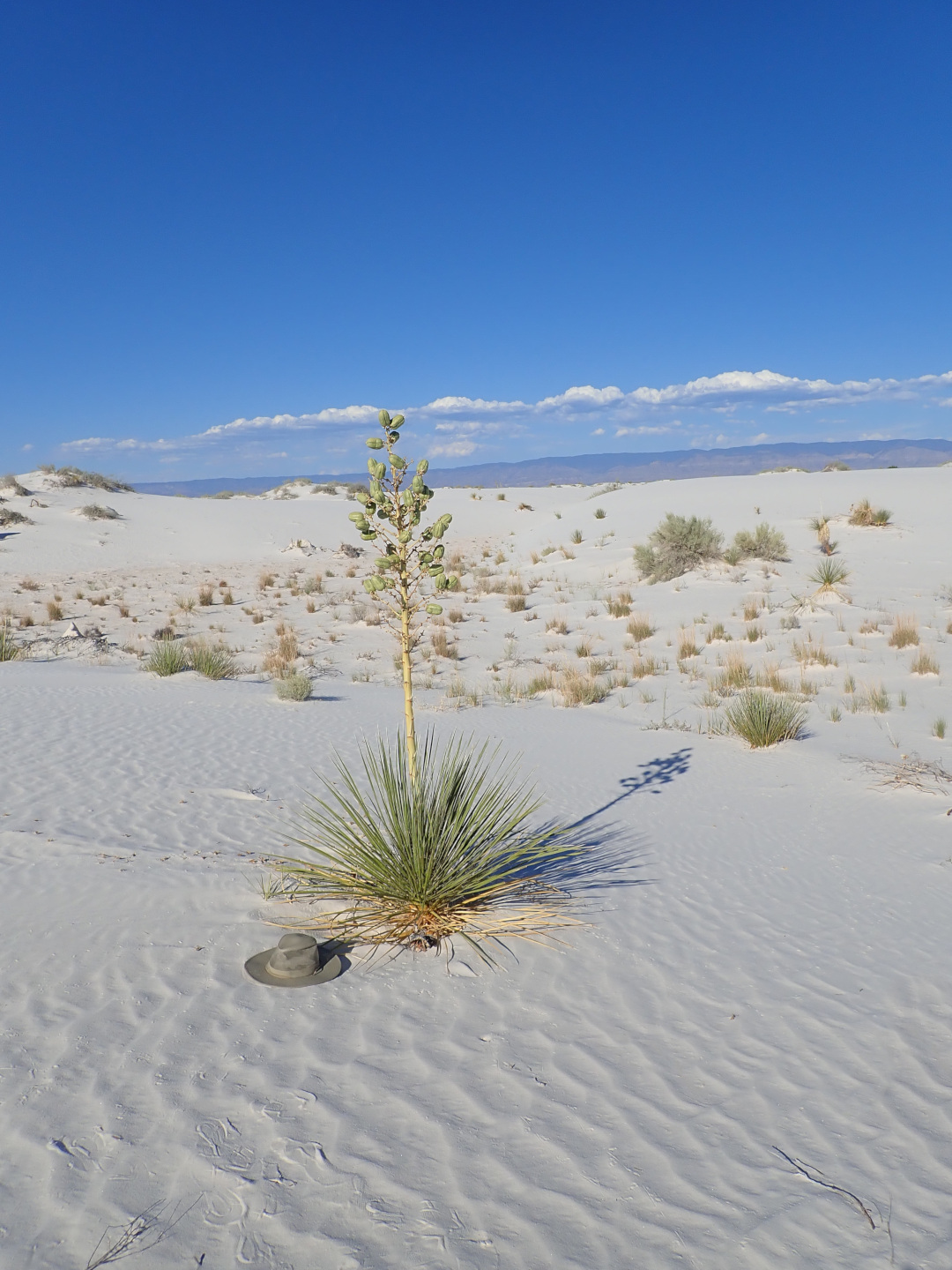
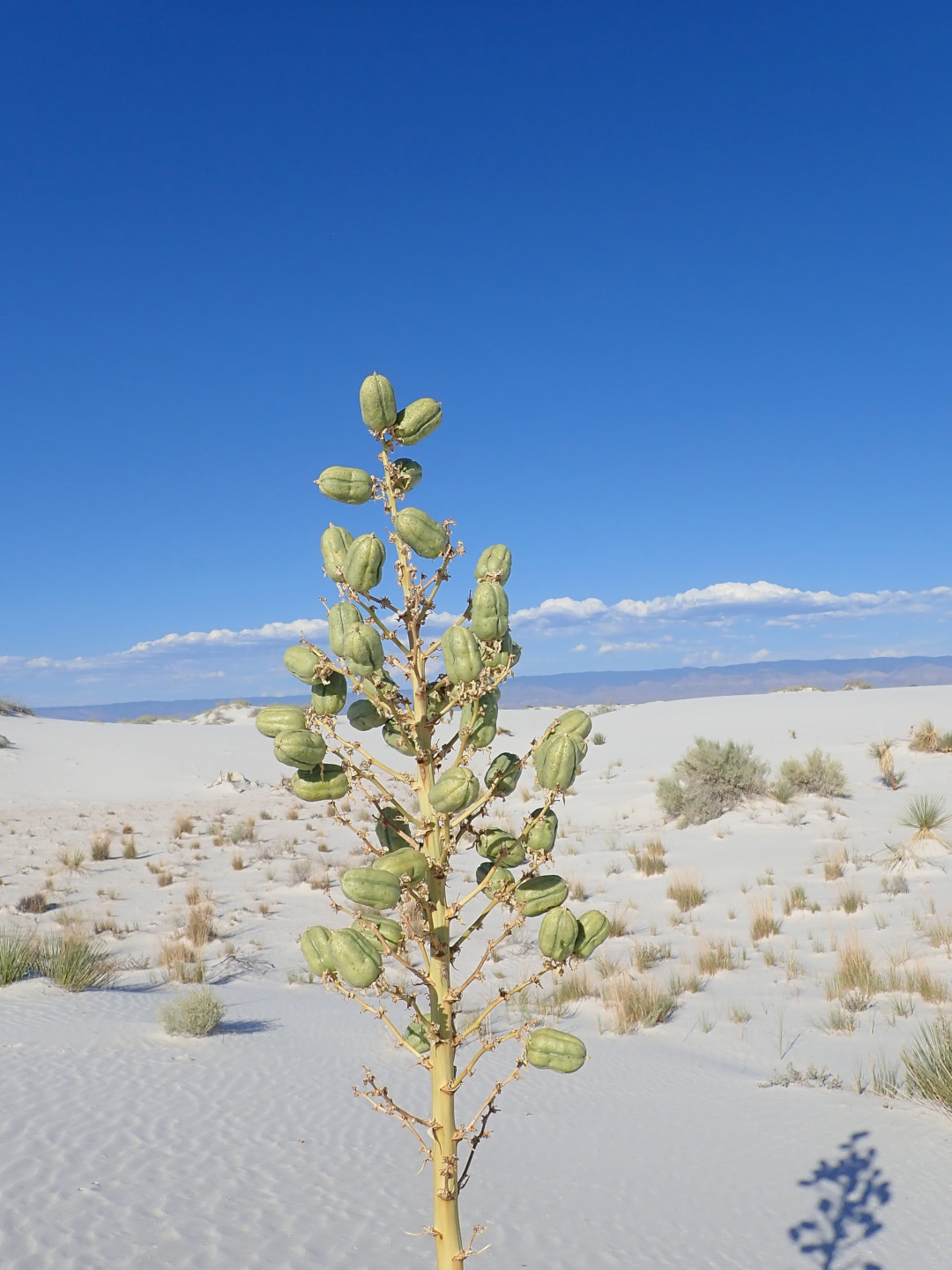
Yuccas.
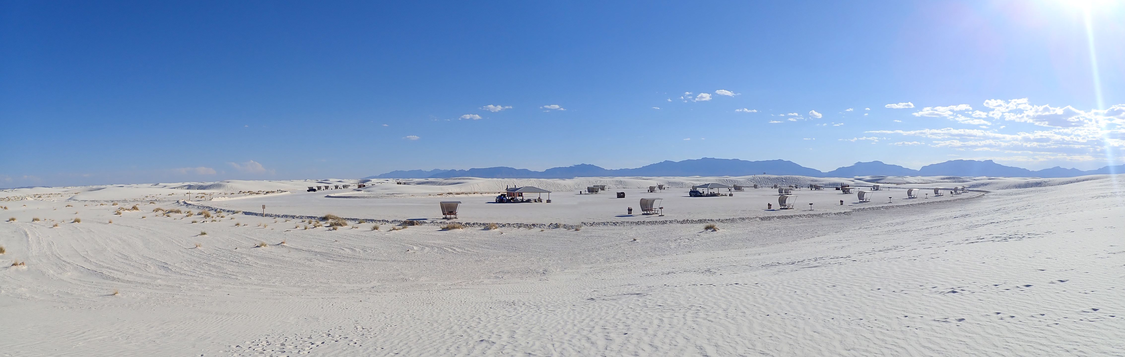 |
Full size panorama: Picnic Panorama
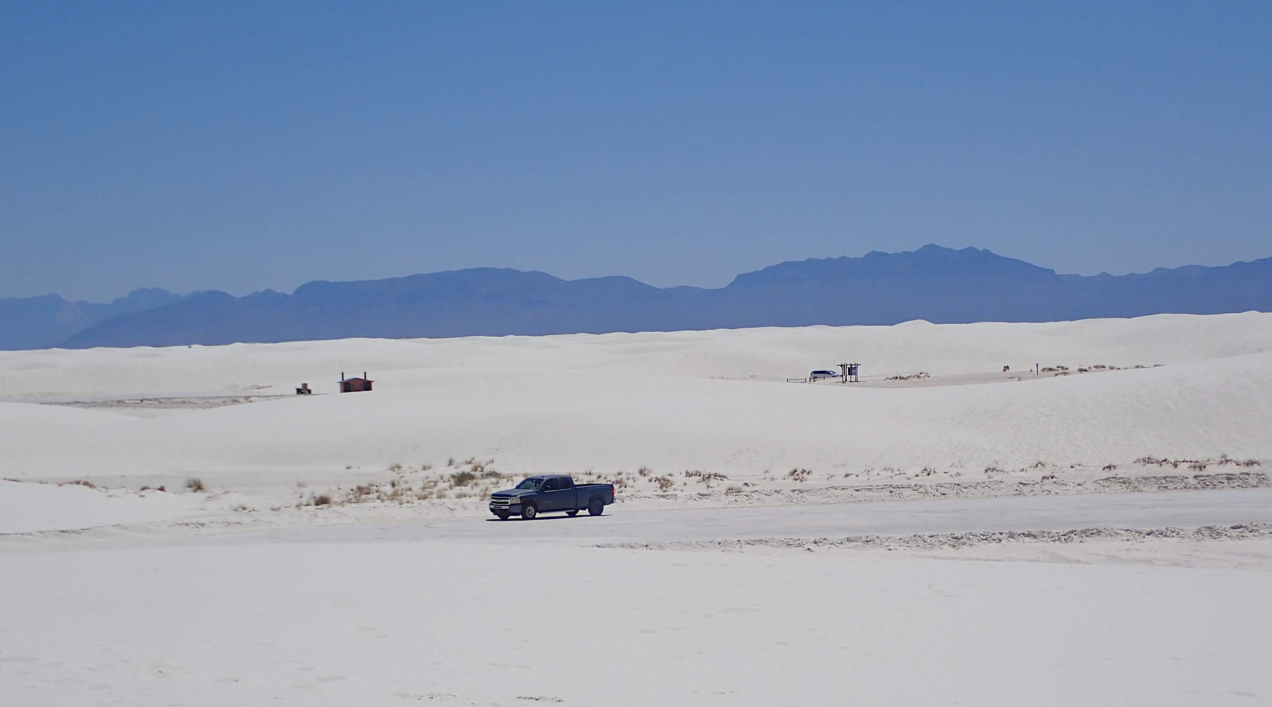
Roadrunner picnic area. I'm south of the truck. I'll walk north.
 |
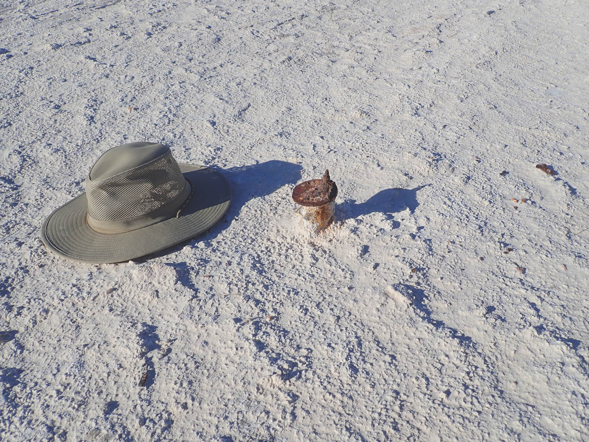 |
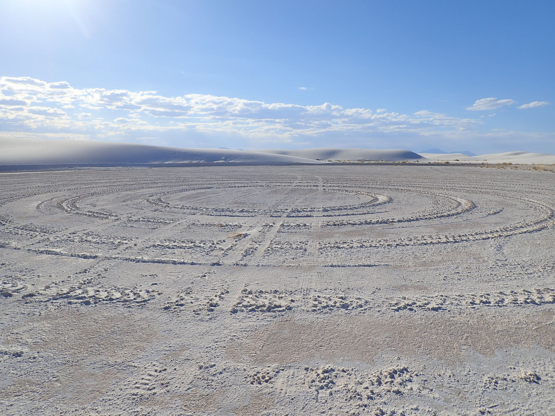
This is the amphitheater area. Why make circles here? A pipe or post. It has a cap held on with a bolt and nut.
 |
Leaving I didn't go slow enough through the entry kiosk zone. A park ranger stopped me for speeding. No ticket. We talked about the town and my Inferno Hikes. He confirmed that I can park at the visitor's center and walk into the dunes from there.
--- Notes ---
Click an image to enlarge it. Click X or click off of the enlarged picture to return to normal.
Panoramas have links under them to see a full size image. Click the link then the image to enlarge it. It may appear in a new window. The image is larger than your screen. Use the scroll bars to pan.
Camera - Olympus TG-5
Photo Editing - Gimp
Video Editing - DaVinci Resolve
How to make a seamless loop with DaVinci Resolve
www.youtube.com/watch?v=loh1y_168po